USFS TCC - 30m - Yearly
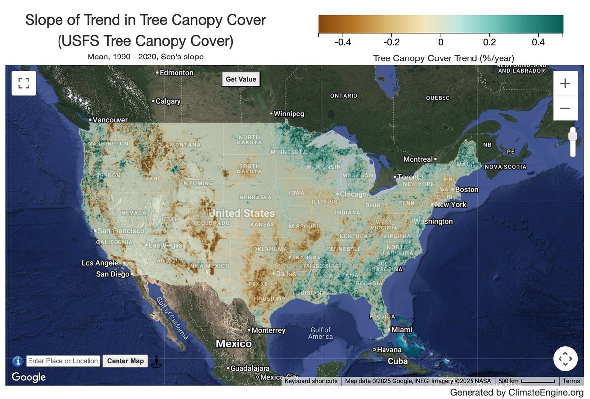
Example Tree Canopy Cover Trend Map
Description
The Tree Canopy Cover (TCC) data suite, produced by the United States Department of Agriculture, Forest Service (USFS), are annual remote sensing-based map outputs spanning from 1985-2025. These data support the National Land Cover Database (NLCD) project, which is managed by the US Geological Survey (USGS) as part of the Multi-Resolution Land Characteristics (MRLC) consortium. The project aims to use the latest technology to create a consistent, 'best available' map of tree canopy cover. Methodology is detailed in Heyer et al. (2025). The geographic scope includes the Conterminous United States (CONUS) and OCONUS regions (Southeast Alaska (SEAK), Hawaii (HI), Puerto Rico, and the US Virgin Islands (PRUSVI)).
Climate Engine details
- Dataset type
- Remote Sensing
- Climate Engine ID
- USFS_TCC_V5
- Documentation
- No link provided
Dataset details
- Scale
- 30m
- Frequency
- Yearly
- Coverage
- CONUS
- Start year
- 1985
- End year
- Present
Earth Engine collection details
- Earth Engine asset
- projects/gtac-data-publish/assets/TCC/Product_Version/2025-6
- Earth Engine asset URL
- https://developers.google.com/earth-engine/datasets/catalog/projects_gtac-data-publish_assets_TCC_Product_Version_2025-6
- Earth Engine source catalog
- Earth Engine Catalog
Variables
API variable docs: #usfs-tree-canopy-cover
| Name | Units |
|---|---|
| Tree Canopy Cover | % |
| Tree Canopy Cover (NLCD) | % |
References
- USDA Forest Service. 2025. USFS Tree Canopy Cover v2025.6 (Conterminous United States and Outer Conterminous United States). Salt Lake City, Utah.
Website: https://data.fs.usda.gov/geodata/rastergateway/treecanopycover/
Terms of use
These data were collected using funding from the U.S. Government and can be used without additional permissions or fees.