UA SWE - 800m - Daily
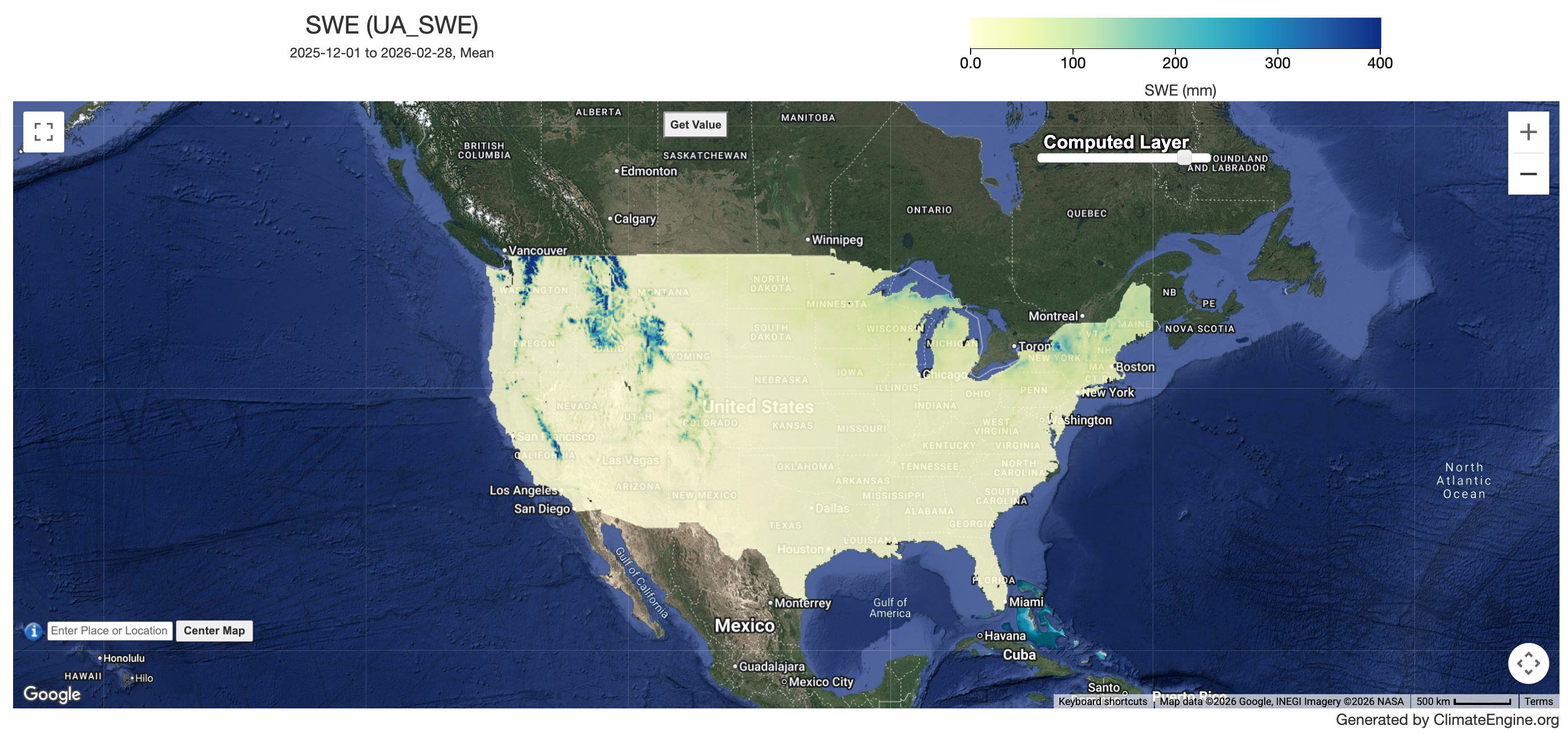
Example Snow Water Equivalent Map
Description
This data set provides daily 800 m snow water equivalent (SWE) and snow depth over the conterminous United States. It was created by assimilating in-situ snow measurements from the National Resources Conservation Service's SNOTEL network and the National Weather Service's COOP network with modeled, gridded temperature and precipitation data from the Parameter-elevation Regressions on Independent Slopes Model (PRISM). Note: data for the current month are labeled 'early', data for 1-6 months in the past are labeled 'provisional', data that are > 6 months old are labeled 'stable'. The 'early' data are generated once in near-real time, the 'provisional' data are reprocessed twice per month to reflect the latest available observations, and the 'stable' data are processed once, and are used in the finalized dataset.
Climate Engine details
- Dataset type
- Climate/Hydrology
- Climate Engine ID
- UA_SWE
- Documentation
- No link provided
Dataset details
- Scale
- 800m
- Frequency
- Daily
- Coverage
- CONUS
- Start year
- 1981
- End year
- Present
Earth Engine collection details
- Earth Engine asset
- projects/climate-engine-pro/assets/ce-swe
- Earth Engine source catalog
- ClimateEngine.org
Variables
API variable docs: #ua-swe
| Name | Units |
|---|---|
| Snow Depth | mm |
| Snow Water Equivalent (SWE) | mm |
References
- Broxton, P., X. Zeng, and N. Dawson. 2019. Daily 4 km Gridded SWE and Snow Depth from Assimilated In-Situ and Modeled Data over the Conterminous US, Version
- [Indicate subset used]. Boulder, Colorado USA. NASA National Snow and Ice Data Center Distributed Active Archive Center. https://doi.org/10.5067/0GGPB220EX6A.
Website: https://nsidc.org/data/nsidc-0719/versions/1
Terms of use
N/A